
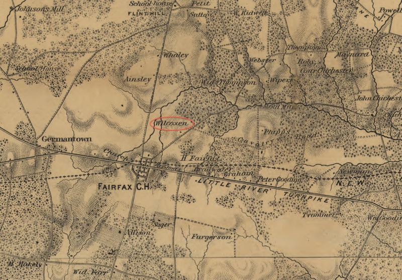
Detail of Map of northeastern Virginia and vicinity of Washington showing Wilcoxen Farm (Blenheim House)
Title
Detail of Map of northeastern Virginia and vicinity of Washington showing Wilcoxen Farm (Blenheim House)
Subject
Blenheim House
Creator
United States Corps of Topographical Engineers.
Source
Map of n. eastern Virginia and vicinity of Washington / compiled in Topographical Engineers Office at Division Head Quarters of General Irvin Mc Dowell, Arlington, January 1th [sic] 1862, from published and manuscript maps corrected by recent surveys and reconnaissances ; engraved on stone by J. Schedler ... N.Y.
Publisher
Library of Congress, Geography and Map Division
<a href="http://hdl.loc.gov/loc.gmd/g3881s.cw0468000" target="_blank">http://hdl.loc.gov/loc.gmd/g3881s.cw0468000</a>
Date
1862
Rights
<a href="http://memory.loc.gov/cgi-bin/ammemrr.pl?title=%3ca%20href%3d%22%2fammem%2fgmdhtml%2fgmdhome.html%22%3eMap%20Collections%3c%2fa%3e&coll=gmd&div=&agg=g3881s&default=ammem&dir=ammem" target="_blank">Library of Congress Right and Reproductions</a>
Format
.tiff
Type
Map
Coverage
1862
Citation
United States Corps of Topographical Engineers. , “Detail of Map of northeastern Virginia and vicinity of Washington showing Wilcoxen Farm (Blenheim House),” Graffiti Soldiers, accessed October 21, 2026, https://drstephenrobertson.com/Graffiti_Soldiers/items/show/436.