
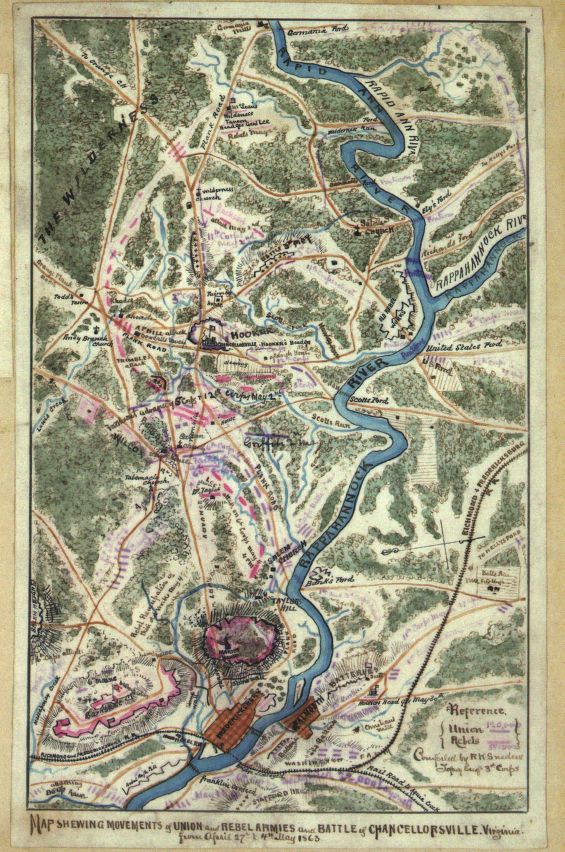
Map of Movement of Union and Rebel Armies in Chancellorsville, Virginia
Title
Map of Movement of Union and Rebel Armies in Chancellorsville, Virginia
Subject
chancelllorsville
battle
Civil War
military service
battle
Civil War
military service
Description
This color-coded map shows the movement of Union and Rebel armies in Chancellorsville, Virginia from April 27th-May 4th, 2014
Creator
Robert Knox Sneden
Source
Library of Congress
Publisher
Library of Congress
Date
1863
Rights
<a href="http://www.loc.gov/pictures/about/#rights">http://www.loc.gov/pictures/about/#rights</a>
Format
JPEG
Type
Map
Identifier
chancellorsville_Map
Coverage
1863
Citation
Robert Knox Sneden, “Map of Movement of Union and Rebel Armies in Chancellorsville, Virginia,” Graffiti Soldiers, accessed October 21, 2026, https://drstephenrobertson.com/Graffiti_Soldiers/items/show/446.