Skip to content
Digital Harlem Blog
News & Analysis of the web site "Digital Harlem: Everyday Life, 1915-1930
  • About
    • The Project
    • The Researchers
    • The Sources
    • Harlem in the 1920s
  • Digital Harlem: the site
    • The Map v2
    • Search Places v2
    • Search Events v2
    • Select a Person v2
    • Timeline v2
  • Teaching Digital Harlem
  • Playing the Numbers: the book
    • Learn More About Numbers
      • The game
      • Choosing a number
      • Placing a bet
      • Getting arrested
      • Bankers, Kings and Queens
    • Resources
      • Policy Pete’s Dream Book (1933)
    • Reviews

Tag: Harlem

Schools in 1920s Harlem

July 16, 2018 Stephen Robertson 2 Comments

By 1930, there were more than 24,000 school-age black children in Harlem (1). Five public elementary served the black community…

Continue Reading →

Posted in: Maps, Photographs, Places Filed under: 1920s Harlem, African American history, children, elementary schools, Harlem, schools, segregation, vocational education

Black Businesses in 1920s Harlem

July 6, 2018 Stephen Robertson 1 Comment

When blacks moved to Harlem to live, they also looked to relocate and establish businesses. While the number of Harlem’s…

Continue Reading →

Posted in: Maps, Places Filed under: 1920s Harlem, barber shop, beauty parlor, black business, Harlem, New York Age, restaurants, undertakers, UNIA, Universal Negro Improvement Association

Constrained but not contained: Patterns of everyday life and the limits of segregation in 1920s Harlem

February 13, 2018 Stephen Robertson 1 Comment

Stephen Robertson’s article, “Constrained but not contained: Patterns of everyday life and the limits of segregation in 1920s Harlem,” has…

Continue Reading →

Posted in: Publications Filed under: 1920s, 1920s Harlem, black business, churches, Digital Harlem, Harlem

Childcare in 1920s Harlem

September 9, 2016 Stephen Robertson 1 Comment

While most employed adults travelled outside Harlem to work six days a week, children remained in the neighborhood. An Urban…

Continue Reading →

Posted in: Maps, Places Filed under: 1920s, 1920s Harlem, African American history, baby farm, black families, Catholic, childcare, children, day nurseries, Harlem

Mapping a Riot: Harlem, 1935

April 25, 2016 Stephen Robertson Leave a comment

Cross-posted from drstephenrobertson.com On March 19, 2016, I participated in the Working Group on Interpreting the History of Race Riots…

Continue Reading →

Posted in: Events, Maps, Presentations Filed under: 1930s, 1935 Harlem Riot, Digital Harlem, Harlem, race riot, riot

A Review of Digital Harlem & My Response in the American Historical Review

February 11, 2016 Stephen Robertson Leave a comment

The February 2016 issue of the American Historical Review includes an extended review of Digital Harlem — “Harlem Crime, Soapbox Speeches, and Beauty…

Continue Reading →

Posted in: Publications Filed under: Digital Harlem, Harlem, spatial hsitory

“Harlem in Black & White” now in the Journal of Urban History

August 26, 2013 Stephen Robertson Leave a comment

Our article, “Harlem in Black and White: Mapping Race and Place in the 1920s,” has now appeared in the Journal…

Continue Reading →

Posted in: Publications Filed under: 1920s, 1930s, black business, Harlem, Journal of Urban History, white business

Populating a Building in 1920s Harlem: 116 West 144th Street

April 12, 2012 Stephen Robertson 5 Comments

Aggregated census data have been important in establishing the character of Harlem as a black neighbourhood.  Census schedules individualize that…

Continue Reading →

Posted in: Maps, Places, Presentations Filed under: 1920s, 1920s Harlem, 1930s, 1940 census, black families, census, census schedules, Harlem, lodgers, West 144th Street, West Indians

Digital Harlem and Wikipedia

January 11, 2012 Stephen Robertson 4 Comments

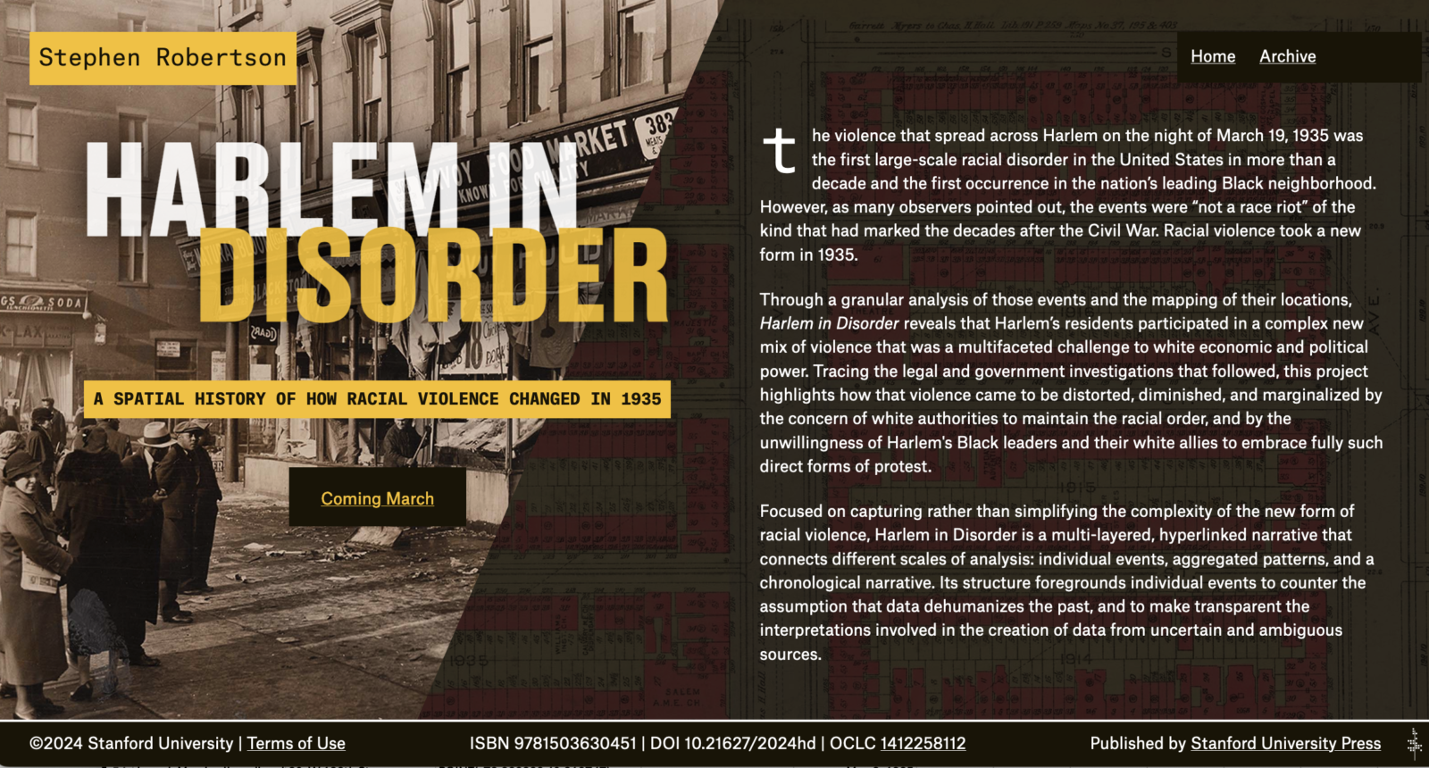
One of the purposes of this blog is to raise awareness of Digital Harlem and draw visitors to the site.…
Continue Reading →

Posted in: Publications, Updates Filed under: academics and wikipedia, crowdsourcing, crowdsourcing history, digital history, digital humanities, Harlem, historians and Wikipedia, history and wikipedia, wikipedia, writing for wikipedia

Numbers on Harlem’s Streets

December 1, 2011 Stephen Robertson Leave a comment

Numbers gambling formed part of the rhythm of Harlem’s street life. A map of arrests for playing the numbers in…

Continue Reading →

Posted in: Events, Maps Filed under: 1920s, A Nightclub Map of Harlem, E Simms Campbell, Eighth Avenue, Fifth Avenue, Harlem, Lenox Avenue, numbers, numbers gambling, numbers runner, Seventh Avenue

Post navigation

Page 1 of 5
1 2 … 5 Next →

Categories

  • Events (16)
  • Individual (7)
  • Maps (39)
  • Photographs (16)
  • Places (24)
  • Presentations (21)
  • Publications (20)
  • Updates (21)

Tags

135th Street (4) 1920s (40) 1920s Harlem (15) 1920s leisure (6) 1920s sports (3) 1930s (21) African American history (9) arrests (3) black business (10) black families (9) Casper Holstein (3) Catholic (3) childcare (2) children (6) churches (8) Digital Harlem (6) Dyckman Oval (2) Eighth Avenue (3) Elks (7) employment (7) Fifth Avenue (2) fraternal organizations (3) furnished room (4) gambling (6) Harlem (46) Harlem Hospital (2) Hubert Julian (3) James Weldon Johnson (2) Lenox Avenue (10) lodgers (7) Marcus Garvey (3) numbers (8) parades (6) playgrounds (2) playing the numbers (5) police (4) prostitution (4) schools (4) Seventh Avenue (9) speakeasies (3) St. Philip's Episcopal Church (2) UNIA (7) Universal Negro Improvement Association (4) West Indians (7) white business (5)
Creative Commons (CC BY-NC-SA 4.0)
css.php